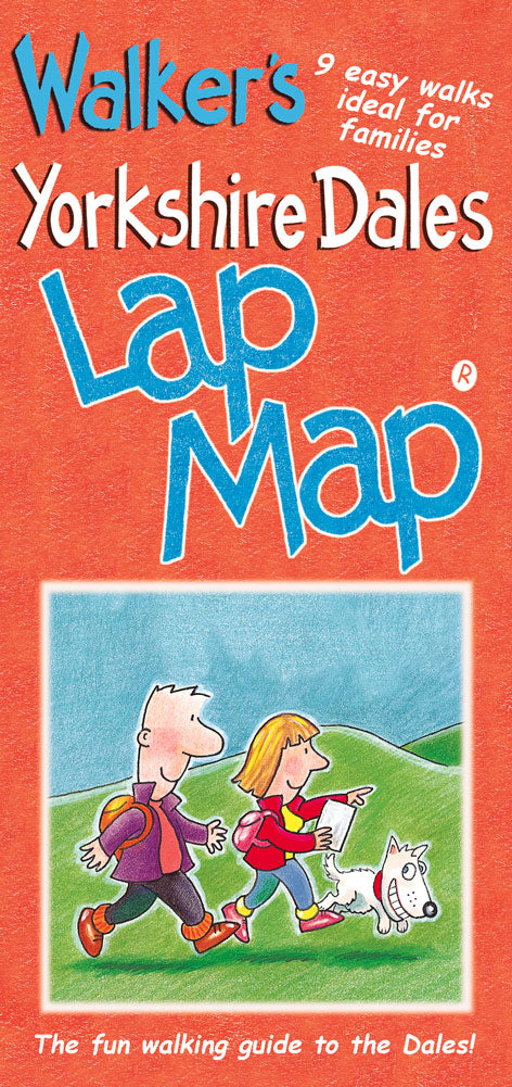
Yorkshire Dales Walkers Lap Map
From the Lap Maps range
A great value walkers guide to the Yorkshire Dales. This map contains eight easy to follow walks with great views and gentle gradients, ideal for families.
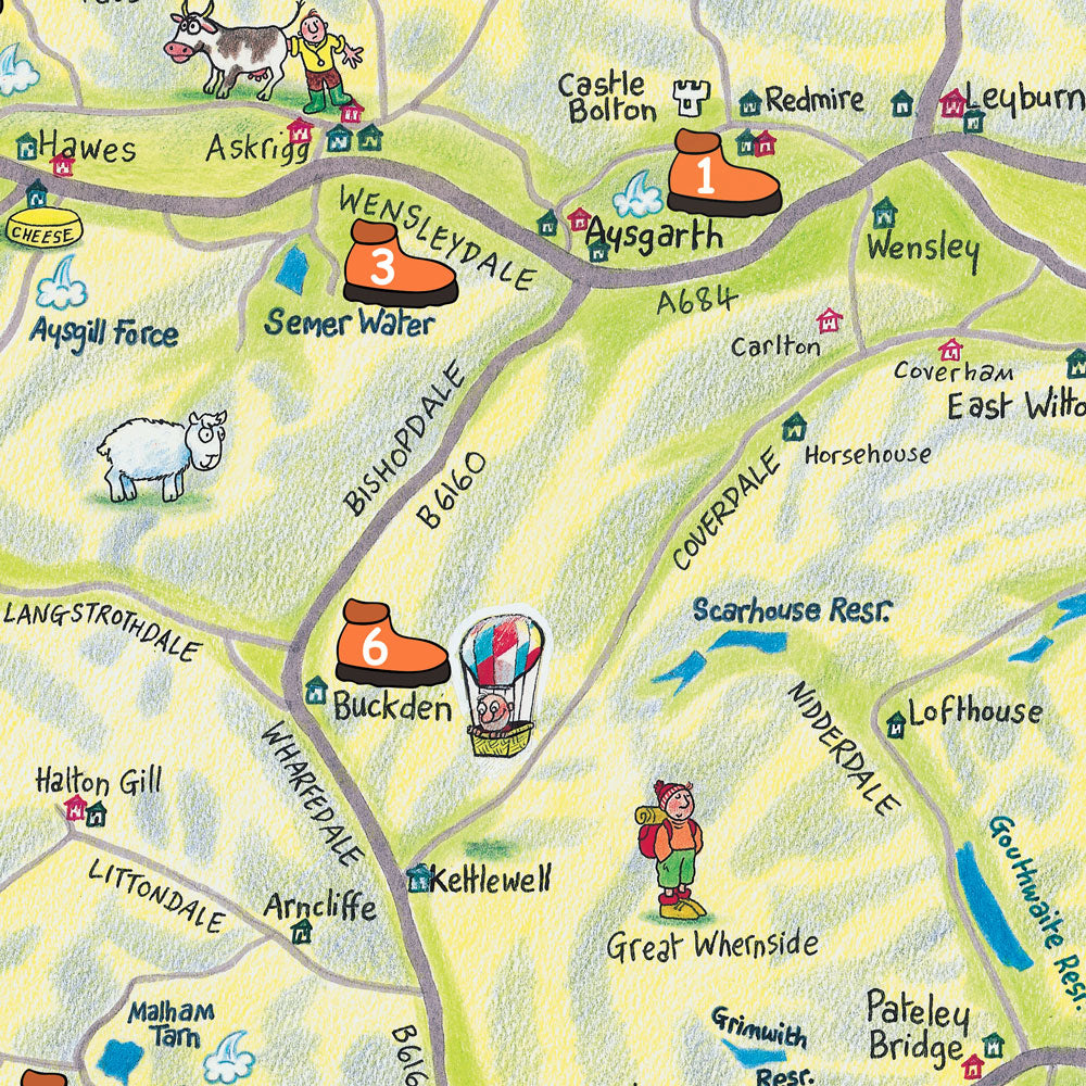
Lap Maps are designed to be easy to use with a colourful hand-drawn map of the Yorkshire Dales by artist Colin Shelbourn on one side with the individual walk route maps and descriptions as well as other useful information on the other. It folds down to fit in a jacket pocket and really enhances your visit to the Dales.
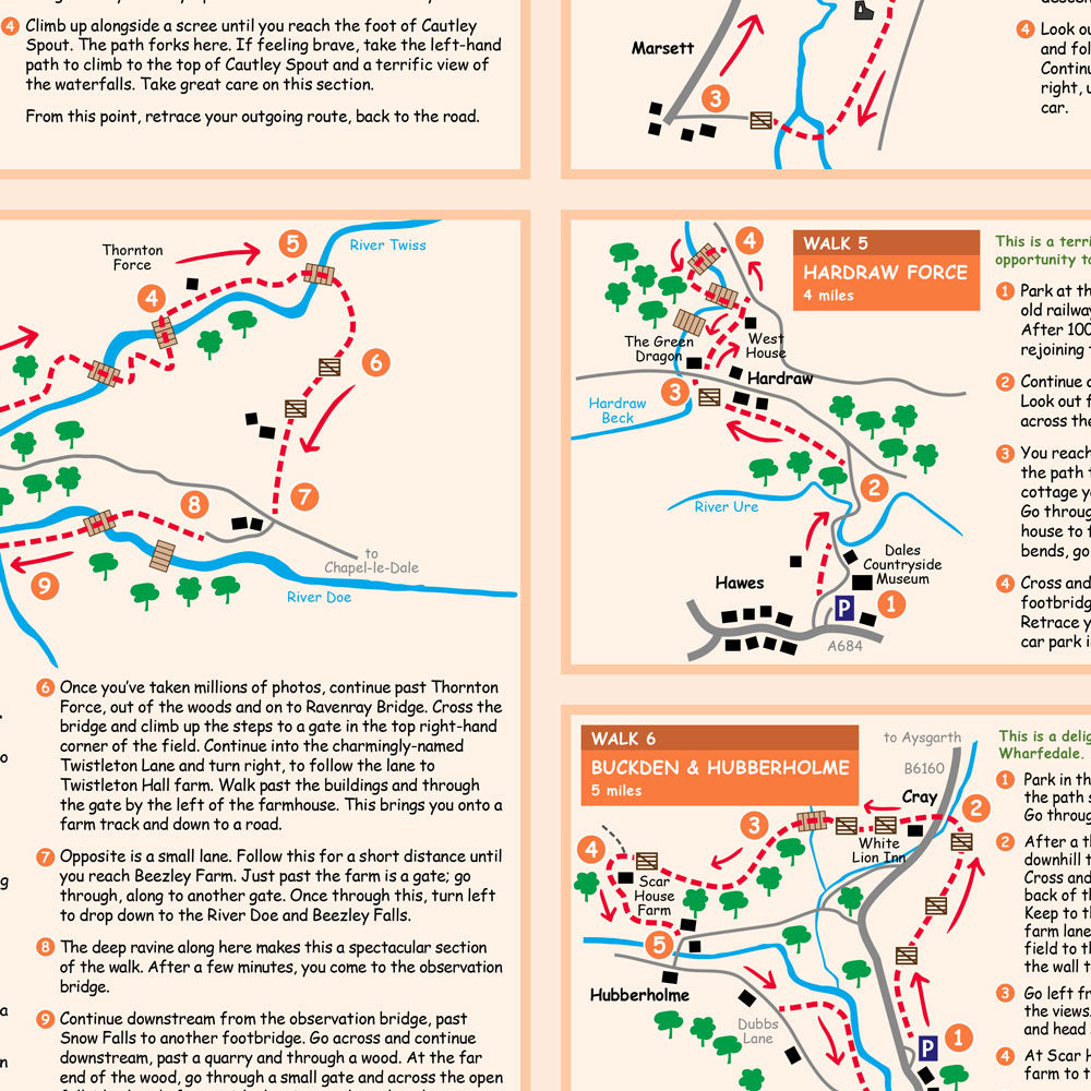
Walks include Aysgarth Falls, Cautley Spout, Semer Water, Ingleton Waterfalls, Hardraw Force, Buckden & Hubberholme, Clapham & Ingleborough Cave, Bolton Abbey and Malham Cove.
Each walk features an easy to use map with distance and numbered, written directions with information on points of interest, views and alternative routes.
Other Lap Maps to the Lakes are available:
Yorkshire Dales Visitor's Lap Map
Yorkshire Dales Pub Grub Lap Map
Designed and printed in the UK.
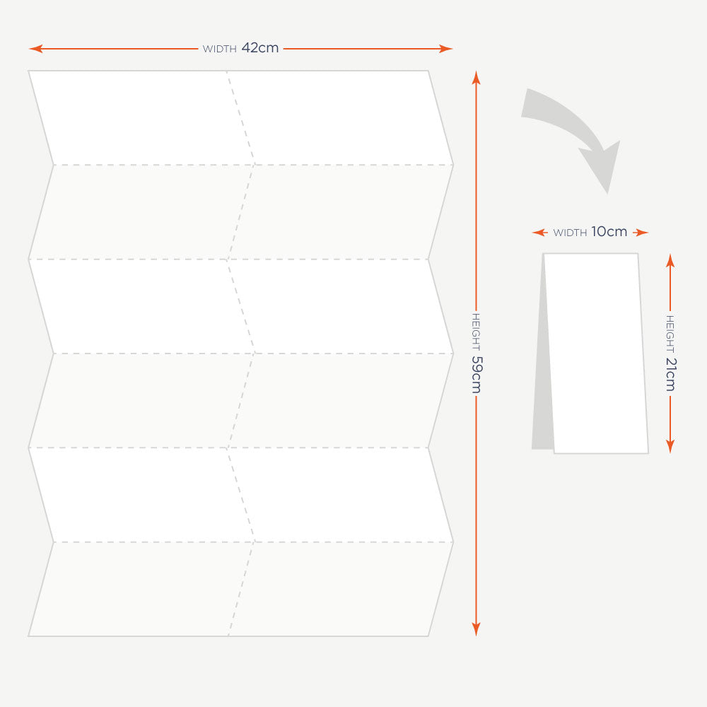
Open size: 42cm x 60cm
Folded size: 10cm x 21cm
Check out our other Lap Maps for the Lake DIstrict, North Yorkshire Moors, Northumbria and England & Wales.
The Yorkshire Dales Walkers Lap Map is available in wholesale quantities. Please visit our Trade website for details on how to register for a Trade Account and start wholesale shopping with Cardtoons today.